"The National Authority for Geospatial Information pays an introductory visit to Dhahirah Governorate."
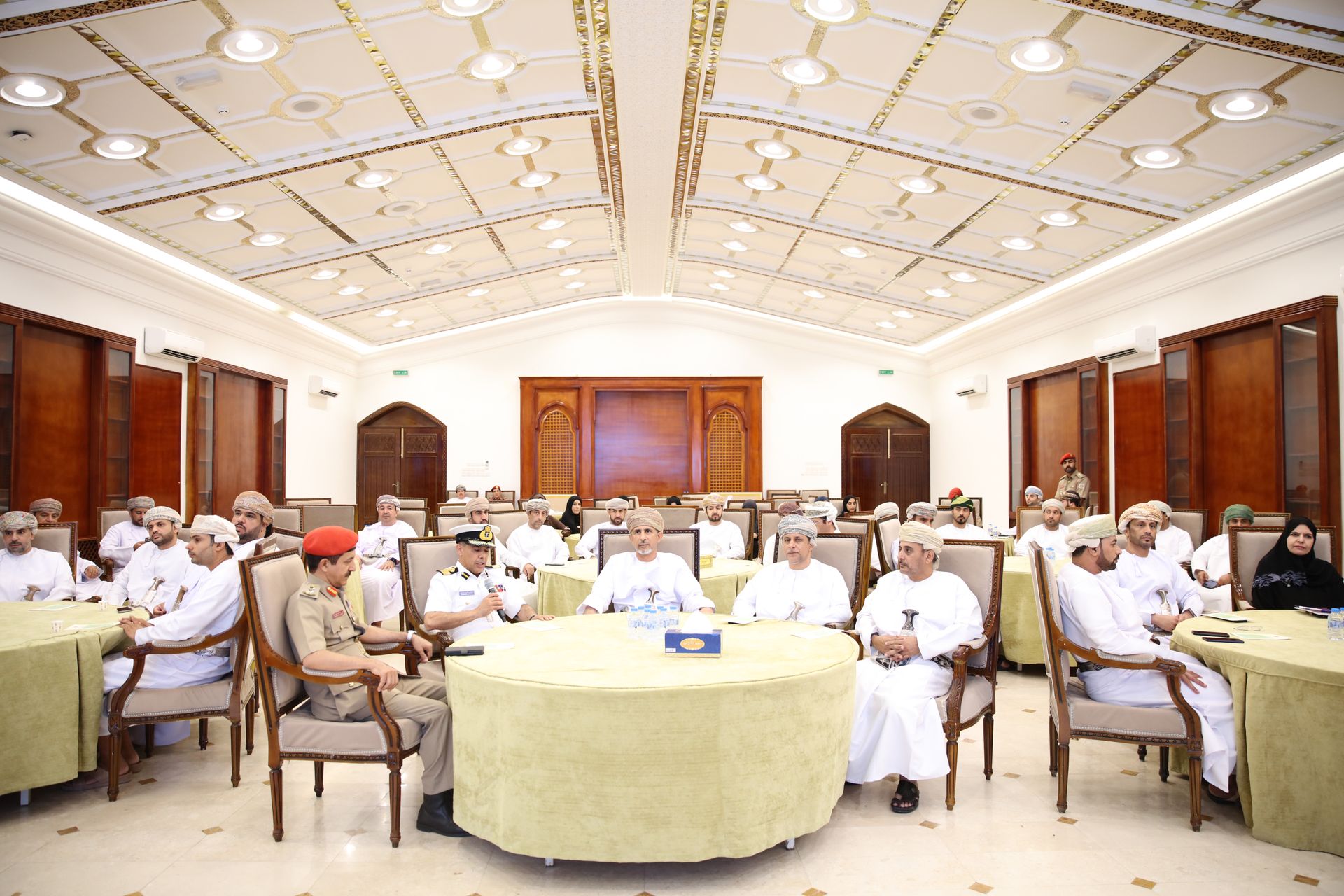
The National Authority for Geospatial Information presented its key tasks and responsibilities during an introductory visit to Dhahirah Governorate, in the presence of His Excellency Sheikh Dr. Said bin Hamid Al-Harthi, Wali of Ibri, and Rear Admiral Nasser bin Ali Al-Harthi, Chairman of the National Authority for Geospatial Information, along with a number of His Excellencies the Walis, members of the Municipal Council, government department directors from the governorate, and specialists in the field of geospatial data.
The program included visual presentations about the Authority’s tasks and roles, the services it provides to other entities, as well as a display of modern technological systems in the field of geospatial data. The program also featured presentations on several of the Authority’s projects, including the aerial imagery archival scanning project, map production, maintenance, and printing, spatial data products and their accreditation processes, in addition to the National Reference Network for continuous operation, which enhances the accuracy of geospatial data and facilitates the instant and easy availability of information for relevant parties, and the Oman Earth Observation Center.
At the end of the visit, attendees toured the accompanying exhibition, where they explored the latest geospatial products and the Authority’s current projects, as well as the advanced tools and technologies used by the Authority in collecting and processing geospatial data.